(See Wigan for overview of the whole town)
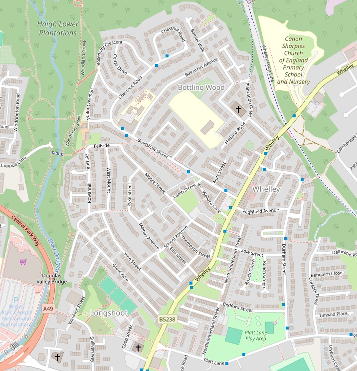
Whelley is a neighbourhood to the north west of Central Wigan bounded by Haigh Plantations to the north, Whelley Loop Line (disused railway) to the east, Longshoot bowling greens and Platt Lane Play Area to the south and the River Douglas to the west.
The main road through the district is also called Whelley.
In the 1786 William Yates map of Lancashire the area is named as “Whirley” which is probably the local pronunciation of Whelley at that time.
 Norman And Marian Barton Family Tree